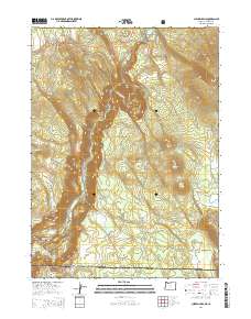
2014 Map of Chicken Hills
USGS Topo · Published 2014About this map
The Klamath River carves a deep path through this section of the Cascade Range, forming the dramatic Klamath Canyon as it flows south toward the California border. This 2014 survey captures a landscape dominated by high-elevation peaks and volcanic topography, from the Hayden Mountain Summit in the northwest to the Chicken Hills and Chase Mtn in the east. The river's course is interrupted by the John C Boyle Reservoir, while the sharp river meander at Big Bend highlights the complex hydrology of the region.
Find a feature on this map
30 named features on this map. Tap any name to fly to it.
Don’t see what you’re looking for? This feature index may not catch every label — zoom into the map to look around manually.
Map Details
Editions of this 2014 Chicken Hills Map
This is the sole edition of this map. No revisions or reprints were ever made.
Other maps of this area

1886 · Modoc Lava Bed
USGS Topo · 1:250,000

1886 · Shasta
USGS Topo · 1:250,000

1889 · Klamath
USGS Topo · 1:250,000

1891 · Ashland
USGS Topo · 1:250,000

1892 · Modoc Lava-Bed
USGS Topo · 1:250,000

1893 · Ashland
USGS Topo · 1:250,000

1894 · Klamath
USGS Topo · 1:250,000

1894 · Shasta
USGS Topo · 1:250,000

1897 · Ashland
USGS Topo · 1:250,000

1934 · Macdoel
USGS Topo · 1:96,000