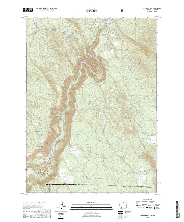
2023 Map of Chicken Hills
USGS Topo · Published 2023About this map
The Klamath Wild and Scenic River carves a deep path through Klamath Canyon, defining the borderlands between Oregon and California. This modern survey illustrates the steep relief of the Cascades, where Hayden Mountain Summit and the Chicken Hills rise above the river valley. The landscape is a network of forestry and utility access, including named routes like Topsy Grade Rd and Slipeasy Valley Sp that traverse the high ridges.
Find a feature on this map
49 named features on this map. Tap any name to fly to it.
Don’t see what you’re looking for? This feature index may not catch every label — zoom into the map to look around manually.
Map Details
Editions of this 2023 Chicken Hills Map
This is the sole edition of this map. No revisions or reprints were ever made.
Other maps of this area

1886 · Modoc Lava Bed
USGS Topo · 1:250,000

1886 · Shasta
USGS Topo · 1:250,000

1889 · Klamath
USGS Topo · 1:250,000

1891 · Ashland
USGS Topo · 1:250,000

1892 · Modoc Lava-Bed
USGS Topo · 1:250,000

1893 · Ashland
USGS Topo · 1:250,000

1894 · Klamath
USGS Topo · 1:250,000

1894 · Shasta
USGS Topo · 1:250,000

1897 · Ashland
USGS Topo · 1:250,000

1934 · Macdoel
USGS Topo · 1:96,000