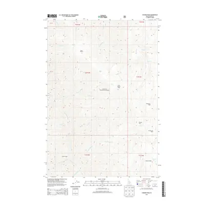
2013 Map of Chicken Peak
USGS Topo · Published 2013About this map
Chicken Peak stands as a prominent high point in this 2013 survey of the Payette National Forest, a landscape defined by sharp drainage divides and complex hydrography. The terrain is marked by distinctive ridges such as Sheepeater Ridge and the unusually named Horse Heaven area, which includes both a summit and Horse Heaven Ridge. Water is central to the geography here, with the South Fork Salmon River and its various tributaries, including the S Fork Salmon River and Porphyry Cr, cutting deep through the forest. Practical crossings and backcountry landmarks are sparse but critical, notably the Porphyry Bridge spanning the river in the southern section. For researchers and geographers, the map documents the intricate network of springs and basins, such as Chamberlain Basin and Mosquito Springs, that sustain this high-elevation Idaho environment.
Find a feature on this map
38 named features on this map. Tap any name to fly to it.
Don’t see what you’re looking for? This feature index may not catch every label — zoom into the map to look around manually.
Map Details
Editions of this 2013 Chicken Peak Map
This is the sole edition of this map. No revisions or reprints were ever made.
Other maps of this area

1937 · Big Creek
USGS Topo · 1:48,000

1942 · Big Creek
USGS Topo · 1:62,500

1956 · Warren
USGS Topo · 1:62,500

1956 · Elk City
USGS Topo · 1:250,000

1960 · Elk City
USGS Topo · 1:250,000

1969 · Wolf Fang Peak
USGS Topo · 1:24,000

1969 · Big Creek
USGS Topo · 1:24,000

1969 · Pilot Peak
USGS Topo · 1:24,000

1978 · Mosquito Peak
USGS Topo · 1:24,000

1978 · Chicken Peak
USGS Topo · 1:24,000