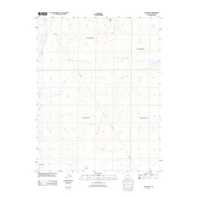
2013 Map of Chicos Well
USGS Topo · Published 2013About this map
The Huerfano River defines the western edge of this landscape, where early 21st-century water management is the primary marker of human activity in Pueblo County. Irrigation infrastructure like the Nepesta Farmers Ditch and Welton Ditch cuts across the terrain, indicating a high reliance on diverted water for agriculture and livestock in this arid region. Centrally located, Chicos Well and the nearby N Chicosa Cr highlight the historical importance of specific water sources in a territory punctuated by features like Goodwin Reservoir and East Cox Windmill. The land rises toward the Hooker Hills in the north, while dry features such as Doyle Arroyo and Long Draw suggest the ephemeral nature of the local drainage system. This survey documents the persistent ranching and farming footprint, connected by a network of county roads including CO Road 3702.
Find a feature on this map
20 named features on this map. Tap any name to fly to it.
Don’t see what you’re looking for? This feature index may not catch every label — zoom into the map to look around manually.
Map Details
Editions of this 2013 Chicos Well Map
This is the sole edition of this map. No revisions or reprints were ever made.
Other maps of this area

1891 · Nepesta
USGS Topo · 1:125,000

1891 · Apishapa
USGS Topo · 1:125,000

1893 · Nepesta
USGS Topo · 1:125,000

1893 · Apishapa
USGS Topo · 1:125,000

1897 · Apishapa
USGS Topo · 1:125,000

1904 · Nepesta
USGS Topo · 1:125,000

1954 · Trinidad
USGS Topo · 1:250,000

1954 · Pueblo
USGS Topo · 1:250,000

1955 · Trinidad
USGS Topo · 1:250,000

1957 · Pueblo
USGS Topo · 1:250,000