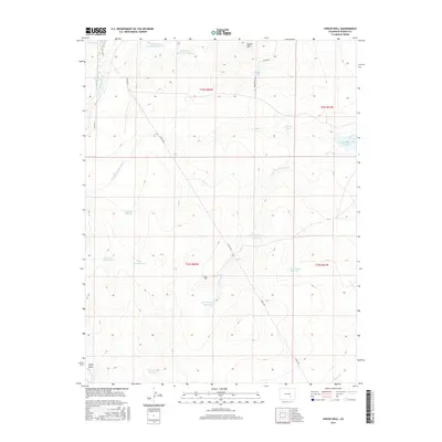
2016 Map of Chicos Well
USGS Topo · Published 2016About this map
Chicos Well sits in a landscape of Pueblo County defined by an intricate network of irrigation and water storage, essential for this semi-arid region. The drainage patterns of N Chicosa Cr and Chicosa Cr are harnessed into a series of interconnected basins including Upper Chicosa Reservoir, Lower Chicosa Reservoir, and the East Chicos Reservoir. In the northwestern corner, the Huerfano River flows near the Welton Ditch and the Nepesta Farmers Ditch, reflecting the historical engineering efforts to move water across the plains. The terrain is relatively uniform, broken primarily by the Hooker Hills in the north and several named draws like Long Draw and Doyle Arroyo. This map provides a look at the ranching and water infrastructure of the 2010s, where named tanks such as Double Tank and Alderd Tank mark the high ground between the various reservoirs.
Find a feature on this map
31 named features on this map. Tap any name to fly to it.
Don’t see what you’re looking for? This feature index may not catch every label — zoom into the map to look around manually.
Map Details
Editions of this 2016 Chicos Well Map
This is the sole edition of this map. No revisions or reprints were ever made.
Other maps of this area

1891 · Nepesta
USGS Topo · 1:125,000

1891 · Apishapa
USGS Topo · 1:125,000

1893 · Nepesta
USGS Topo · 1:125,000

1893 · Apishapa
USGS Topo · 1:125,000

1897 · Apishapa
USGS Topo · 1:125,000

1904 · Nepesta
USGS Topo · 1:125,000

1954 · Trinidad
USGS Topo · 1:250,000

1954 · Pueblo
USGS Topo · 1:250,000

1955 · Trinidad
USGS Topo · 1:250,000

1957 · Pueblo
USGS Topo · 1:250,000