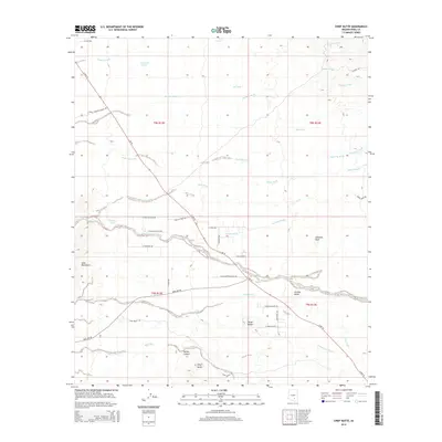
2014 Map of Chief Butte
USGS Topo · Published 2014About this map
Chief Butte and the surrounding high desert of Pinal County are defined by a complex network of ephemeral drainage systems and rocky volcanic formations. This 2014 survey captures a landscape where desert life centers on cattle tanks like Freeman Tank, S Tank, and Cadillac Tank, which provide essential water sources in an otherwise arid environment. The terrain is marked by significant features including Antelope Peak, Panther Butte, and the Suizo Mountains, alongside the deep cut of Parker Canyon. Human presence is largely oriented around Az-79 (also labeled S Hwy 79), which serves as the primary corridor through this desert basin. The map reveals the modern rural road grid emerging near Forman Wash, with residential naming conventions like E Avenida Dios Gatos and E Chuckwagon Ranch Rd indicating a shift toward low-density development and ranching parcels.
Find a feature on this map
46 named features on this map. Tap any name to fly to it.
Don’t see what you’re looking for? This feature index may not catch every label — zoom into the map to look around manually.
Map Details
Editions of this 2014 Chief Butte Map
This is the sole edition of this map. No revisions or reprints were ever made.
Other maps of this area

1911 · Winkelman
USGS Topo · 1:125,000

1913 · Winkelman
USGS Topo · 1:125,000

1934 · Newman Peak
USGS Topo · 1:125,000

1949 · Winkelman
USGS Topo · 1:62,500

1949 · Black Mountain
USGS Topo · 1:24,000
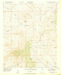
1950 · Black Mountain
USGS Topo · 1:24,000
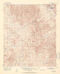
1951 · Winkelman
USGS Topo · 1:62,500

1956 · Tucson
USGS Topo · 1:250,000

1958 · Tucson
USGS Topo · 1:250,000

1959 · Tucson
USGS Topo · 1:250,000