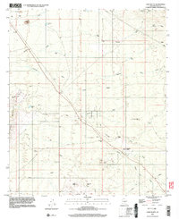
1996 Map of Chief Butte
USGS Topo · Published 2003About this map
The Suizo Mountains dominate the western horizon of this desert landscape in Pinal County, where a network of ephemeral washes like Suizo Wash and Coronado Wash dictate the flow of the terrain. The map captures a region defined by scattered resource extraction and water management, featuring several industrial landmarks including the Bogard Open Pit Mine in the north and the Big Mine near the southern boundary. Pockets of activity are found at Sampson Well and Lopez Wells, while high-tension power lines and pipelines cross the arid expanse. This survey reflects the mid-to-late 20th-century character of the Arizona desert, where prominent landmarks such as Chief Butte and Antelope Peak served as vital navigational points for surveyors and travelers alike. Remote 4WD tracks and the presence of numerous water tanks suggest a landscape primarily utilized for mining and livestock, relatively undisturbed by major residential development.
Find a feature on this map
38 named features on this map. Tap any name to fly to it.
Don’t see what you’re looking for? This feature index may not catch every label — zoom into the map to look around manually.
Map Details
Editions of this 1996 Chief Butte Map
This is the sole edition of this map. No revisions or reprints were ever made.
Other maps of this area

1911 · Winkelman
USGS Topo · 1:125,000

1913 · Winkelman
USGS Topo · 1:125,000

1934 · Newman Peak
USGS Topo · 1:125,000

1949 · Winkelman
USGS Topo · 1:62,500

1949 · Black Mountain
USGS Topo · 1:24,000
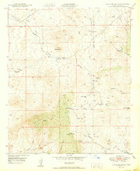
1950 · Black Mountain
USGS Topo · 1:24,000
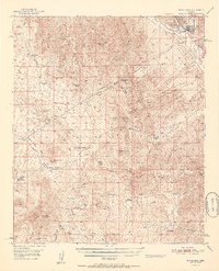
1951 · Winkelman
USGS Topo · 1:62,500

1956 · Tucson
USGS Topo · 1:250,000

1958 · Tucson
USGS Topo · 1:250,000

1959 · Tucson
USGS Topo · 1:250,000