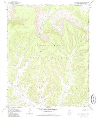
1968 Map of Chilchinbito Canyon
USGS Topo · Published 1985About this map
Chilchinbito Canyon dominates this 1960s landscape, a region defined by complex administrative boundaries and a network of ephemeral watercourses. Located within the Navajo - Hopi Joint Use Area, the terrain is marked by intricate drainage patterns including Pine Tree Wash, Aspen Wash, and Yellow Jacket Wash. Human presence is sparse, indicated primarily by a network of seasonal routes such as the Pack Trail and various unnamed trails and jeep trails that navigate the high plateaus and canyon floors.
Find a feature on this map
24 named features on this map. Tap any name to fly to it.
Don’t see what you’re looking for? This feature index may not catch every label — zoom into the map to look around manually.
Map Details
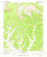
Editions of this 1968 Chilchinbito Canyon Map
2 editions found
Other maps of this area

1883 · Marsh Pass
USGS Topo · 1:250,000

1892 · Marsh Pass
USGS Topo · 1:250,000

1892 · Canyon De Chelly
USGS Topo · 1:250,000

1954 · Shiprock
USGS Topo · 1:250,000

1956 · Marble Canyon
USGS Topo · 1:250,000

1958 · Shiprock
USGS Topo · 1:250,000

1959 · Shiprock
USGS Topo · 1:250,000

1959 · Marble Canyon
USGS Topo · 1:250,000

1961 · Marble Canyon
USGS Topo · 1:250,000
1968 · Toh Ne Zhonnie Spring
USGS Topo · 1:24,000