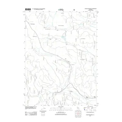
2012 Map of Childs Meadows
USGS Topo · Published 2012About this map
Childs Meadows and Feather River Meadows define this high-elevation landscape, where the headwaters of several major drainage systems originate. The terrain is marked by distinctive volcanic and alpine features including Wild Cattle Mountain, Ice Cave Mountain, and the prominent Lost Creek Plateau. Hydrological networks are complex, with the N Fork Feather River flowing in the northeast while Gurnsey Cr and Deer Cr carve through the southern sections.
Find a feature on this map
29 named features on this map. Tap any name to fly to it.
Don’t see what you’re looking for? This feature index may not catch every label — zoom into the map to look around manually.
Map Details
Editions of this 2012 Childs Meadows Map
This is the sole edition of this map. No revisions or reprints were ever made.
Other maps of this area

1886 · Lassen Peak
USGS Topo · 1:250,000

1892 · Lassen Peak
USGS Topo · 1:250,000

1894 · Lassen Peak
USGS Topo · 1:250,000

1935 · Paynes Creek
USGS Topo · 1:96,000

1941 · Mineral
USGS Topo · 1:125,000

1955 · Westwood
USGS Topo · 1:250,000

1956 · Lassen Peak
USGS Topo · 1:62,500

1956 · Mt. Harkness
USGS Topo · 1:62,500

1958 · Westwood
USGS Topo · 1:250,000

1958 · Jonesville
USGS Topo · 1:62,500