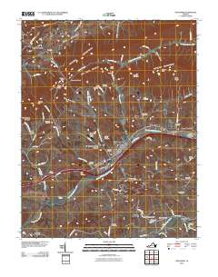
2010 Map of Chilhowie
USGS Topo · Published 2010About this map
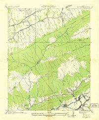
The Middle Fork Holston River serves as the central artery for this region of Southwest Virginia, anchoring the settlement of Chilhowie and the community of Seven Mile Ford. The landscape is defined by the heavy ridges of Walker Mountain and Brushy Mountain, which separate the Rich Valley from the river bottoms. This terrain dictated early transportation routes through narrow passages like Lyons Gap and Jamison Gap.
Find a feature on this map
87 named features on this map. Tap any name to fly to it.
Don’t see what you’re looking for? This feature index may not catch every label — zoom into the map to look around manually.
Map Details
Editions of this 2010 Chilhowie Map
This is the sole edition of this map. No revisions or reprints were ever made.
Other maps of this area

1891 · Abingdon
USGS Topo · 1:125,000

1894 · Abingdon
USGS Topo · 1:125,000
1909 · Abingdon
USGS Topo · 1:96,000
1911 · Abingdon
USGS Topo · 1:125,000
1934 · Chatham Hill
USGS Topo · 1:24,000
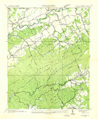
1935 · Konnarock
USGS Topo · 1:24,000
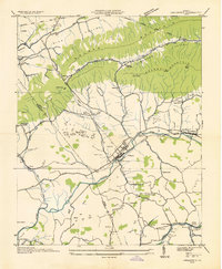
1935 · Chilhowie
USGS Topo · 1:24,000
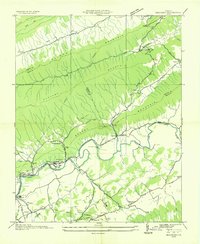
1935 · Maccrady
USGS Topo · 1:24,000
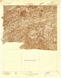
1935 · Mount Rogers
USGS Topo · 1:48,000
1935 · Saltville
USGS Topo · 1:24,000