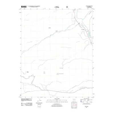
2011 Map of Chili
USGS Topo · Published 2011About this map
The Rio Chama valley north of Espanola is the primary geographic focus of this 2011 survey, where the river meets the Rio Ojo Caliente and the Rio del Oso. The small settlement of Chili and the neighboring community of La Chuachia sit at this significant hydraulic junction, surrounded by a complex system of drainage channels including Arroyo del Palacio and Arroyo de la Presa.
Find a feature on this map
30 named features on this map. Tap any name to fly to it.
Don’t see what you’re looking for? This feature index may not catch every label — zoom into the map to look around manually.
Map Details
Editions of this 2011 Chili Map
This is the sole edition of this map. No revisions or reprints were ever made.
Other maps of this area

1892 · Santa Clara
USGS Topo · 1:125,000

1918 · Abiquiu
USGS Topo · 1:125,000

1952 · Puye
USGS Topo · 1:24,000

1952 · Guaje Mountain
USGS Topo · 1:24,000

1953 · Espanola
USGS Topo · 1:24,000

1953 · Chili
USGS Topo · 1:24,000

1953 · Abiquiu
USGS Topo · 1:24,000

1953 · Medanales
USGS Topo · 1:24,000

1953 · Vallecitos
USGS Topo · 1:24,000

1953 · San Juan Pueblo
USGS Topo · 1:24,000