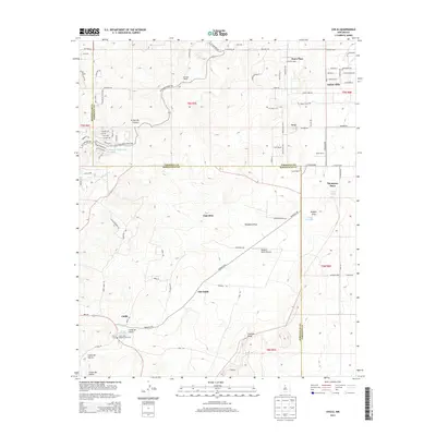
2013 Map of Chilili
USGS Topo · Published 2013About this map
Old Chilili and the modern settlement of Chilili anchor this landscape along the Bernalillo and Torrance county line. The area is defined by a series of deep drainages and canyons, including Cañon de Chilili and Cañon de Savina, which cut through the high-elevation terrain. Local history is centered around the Chilili Cem and the Saint John Nepomucene Cem, reflecting the cultural roots of these communities.
Find a feature on this map
87 named features on this map. Tap any name to fly to it.
Don’t see what you’re looking for? This feature index may not catch every label — zoom into the map to look around manually.
Map Details
Editions of this 2013 Chilili Map
This is the sole edition of this map. No revisions or reprints were ever made.
Other maps of this area

1892 · San Pedro
USGS Topo · 1:125,000

1917 · Estancia
USGS Topo · 1:125,000

1954 · Chilili
USGS Topo · 1:24,000

1954 · Sedillo
USGS Topo · 1:24,000

1954 · Tajique
USGS Topo · 1:24,000

1954 · Escabosa
USGS Topo · 1:24,000

1954 · Edgewood
USGS Topo · 1:24,000

1954 · Milbourn Ranch
USGS Topo · 1:24,000

1954 · Socorro
USGS Topo · 1:250,000

1956 · Edgewood
USGS Topo · 1:62,500