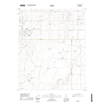
2020 Map of Chilili
USGS Topo · Published 2020About this map
Chilili and its neighboring settlements occupy the high terrain along the border of Bernalillo and Torrance counties in this modern digital survey. The landscape is defined by its drainage patterns and springs, with Manzano Springs and Pine Springs providing essential water sources in an area characterized by deep draws like Woodman Draw and Buffalo Draw. The presence of both Old Chilili and the current settlement of Chilili provides a clear view of the shifting residential patterns in this rural New Mexico community. Local genealogy is anchored by the Chilili Cem and Saint John Nepomucene Cem, while the modern infrastructure includes the Biplane Ranch Airport north of Augustine. The map also traces various arroyos and canyons that have historically shaped local travel and ranching, such as the Arroyo de Chilili and the steep Cañon de Savina.
Find a feature on this map
95 named features on this map. Tap any name to fly to it.
Don’t see what you’re looking for? This feature index may not catch every label — zoom into the map to look around manually.
Map Details
Editions of this 2020 Chilili Map
This is the sole edition of this map. No revisions or reprints were ever made.
Other maps of this area

1892 · San Pedro
USGS Topo · 1:125,000

1917 · Estancia
USGS Topo · 1:125,000

1954 · Chilili
USGS Topo · 1:24,000

1954 · Sedillo
USGS Topo · 1:24,000

1954 · Tajique
USGS Topo · 1:24,000

1954 · Escabosa
USGS Topo · 1:24,000

1954 · Edgewood
USGS Topo · 1:24,000

1954 · Milbourn Ranch
USGS Topo · 1:24,000

1954 · Socorro
USGS Topo · 1:250,000

1956 · Edgewood
USGS Topo · 1:62,500