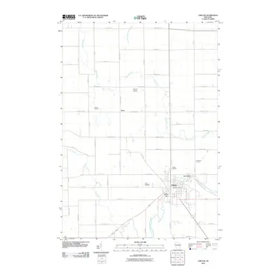
2010 Map of Chilton
USGS Topo · Published 2010About this map
The Chilton city center and the smaller settlement of Gravesville are the primary focal points of this Calumet County study, situated at the confluence of the South Branch Manitowoc River and the North Branch Manitowoc River. The landscape is defined by the winding course of the Killsnake River and Stony Brook, which navigate a grid of rural roads named for early local families, such as Schneider Rd, Ortlepp Rd, and Mueller Rd.
Find a feature on this map
57 named features on this map. Tap any name to fly to it.
Don’t see what you’re looking for? This feature index may not catch every label — zoom into the map to look around manually.
Map Details
Editions of this 2010 Chilton Map
This is the sole edition of this map. No revisions or reprints were ever made.
Other maps of this area

1910 · Fond du Lac
USGS Topo · 1:62,500

1911 · Neenah
USGS Topo · 1:62,500

1954 · Chilton
USGS Topo · 1:62,500

1954 · Kiel
USGS Topo · 1:62,500

1955 · Neenah
USGS Topo · 1:62,500

1955 · Fond Du Lac
USGS Topo · 1:62,500

1955 · Green Bay
USGS Topo · 1:250,000

1957 · Madison
USGS Topo · 1:250,000

1960 · Madison
USGS Topo · 1:250,000
1974 · Kiel
USGS Topo · 1:24,000