Loading...
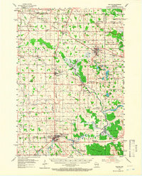
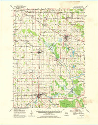
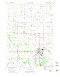
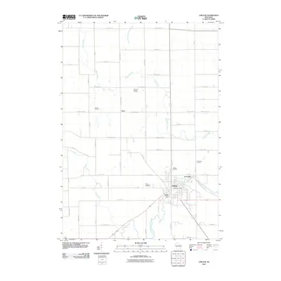
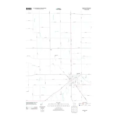
Loading map...1954 Map of Chilton
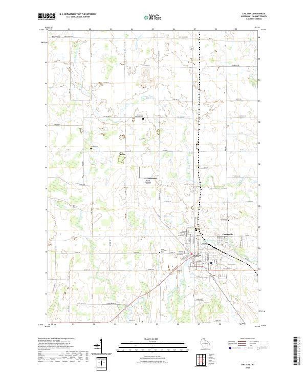
USGS Topo · Published 1966About this map
The Chilton area of Calumet County is defined by its deep agricultural roots and a sophisticated mid-century rail network. At this time, the Chicago Milwaukee St Paul and Pacific and the Chicago and North Western railroads intersect at Hilbert, while the Minneapolis St Paul and Sault Ste Marie serves the eastern corridor near Potter. The landscape is a patchwork of small dairy farms, marked by an exceptional density of rural schools and parish churches such as St Lukes Ch Cem and Brant Ch.
Find a feature on this map
96 named features on this map. Tap any name to fly to it.
Don’t see what you’re looking for? This feature index may not catch every label — zoom into the map to look around manually.
Map Details
Date Portrayed1954
Date Published1966
PublisherU.S. Geological Survey
Map TypeTopographic
Scale1:62,500
Physical Dimensions17 x 21 inches
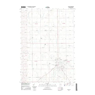
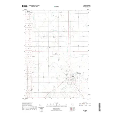
Editions of this 1954 Chilton Map

Historical Maps of Harrison Through Time
8 maps found

Featured Locations
Source Details
SourceU.S. Geological Survey
CopyrightPublic Domain