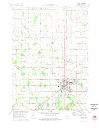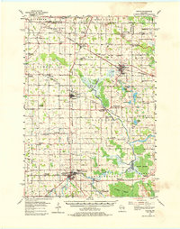
1954 Map of Chilton
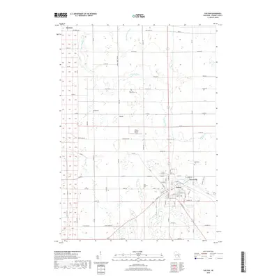
USGS Topo · Published 1980About this map
The Manitowoc River system and its many tributaries, including the Killsnake River and South Branch, weave through this mid-century landscape in Calumet and Manitowoc Counties. The city of Chilton serves as a central hub, surrounded by smaller dairy-farming and industrial outposts like Brillion, Hilbert, and Potter. The rail infrastructure of the era is dense, featuring lines from the Chicago and North Western and the Minneapolis St P and Sault Ste Marie crossing the terrain. Local genealogy is well-supported by numerous rural sites, including the St Augustine Cem near the Wray Sch and the Hillside Cem in Chilton. The presence of the Indian Reservation Boundary on the western edge and the sprawling Hayton Marsh to the south illustrate the diverse land use and natural conservation areas of the Wisconsin countryside during the 1950s.
Find a feature on this map
88 named features on this map. Tap any name to fly to it.
Don’t see what you’re looking for? This feature index may not catch every label — zoom into the map to look around manually.
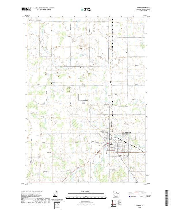
Map Details
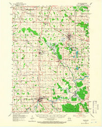
Editions of this 1954 Chilton Map

Historical Maps of Harrison Through Time
8 maps found