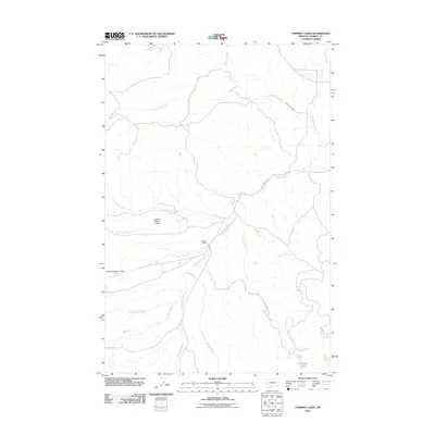
2011 Map of Chimney Lakes
USGS Topo · Published 2011About this map
Manley Ranch sits at the heart of this Montana landscape, where water management and ranching define the local geography. The map illustrates a complex network of hydrological features, including the Manley Number 3 Dam and Manley Number 2 Dam, which regulate the flow of Douglas Creek. These engineering works, along with the Number Five Ditch, highlight the historical and ongoing importance of water rights and irrigation in Powell County.
Find a feature on this map
16 named features on this map. Tap any name to fly to it.
Don’t see what you’re looking for? This feature index may not catch every label — zoom into the map to look around manually.
Map Details
Editions of this 2011 Chimney Lakes Map
This is the sole edition of this map. No revisions or reprints were ever made.
Other maps of this area

1889 · Helena
USGS Topo · 1:250,000

1893 · Helena
USGS Topo · 1:250,000

1899 · Helena
USGS Topo · 1:250,000

1903 · Helena
USGS Topo · 1:250,000

1919 · Drummond
USGS Topo · 1:125,000

1921 · Drummond
USGS Topo · 1:125,000

1947 · Butte
USGS Topo · 1:250,000

1958 · Butte
USGS Topo · 1:250,000

1958 · Drummond
USGS Topo · 1:62,500

1958 · Garrison
USGS Topo · 1:62,500