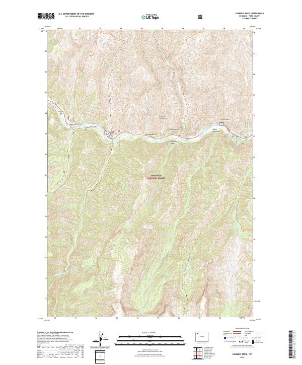
2021 Map of Chimney Rock
USGS Topo · Published 2021About this map
The Absaroka Range dominates this portion of the Shoshone National Forest, where the North Fork Shoshone River carves a deep path through the Wyoming wilderness. This landscape is defined by its striking geological formations, most notably the namesake Chimney Rock and the towering heights of The Palisades. Other distinctive landmarks like Elephant Head Rock, Window Rock, and Henry Ford Rock serve as natural beacons for those navigating the backcountry.
Find a feature on this map
32 named features on this map. Tap any name to fly to it.
Don’t see what you’re looking for? This feature index may not catch every label — zoom into the map to look around manually.
Map Details
Editions of this 2021 Chimney Rock Map
This is the sole edition of this map. No revisions or reprints were ever made.
Other maps of this area

1893 · Ishawooa
USGS Topo · 1:125,000

1895 · Ishawooa
USGS Topo · 1:125,000

1896 · Crandall Creek
USGS Topo · 1:125,000

1899 · Crandall
USGS Topo · 1:125,000

1899 · Ishawooa
USGS Topo · 1:125,000

1955 · Cody
USGS Topo · 1:250,000

1956 · Sunlight Peak
USGS Topo · 1:62,500

1956 · Dead Indian Peak
USGS Topo · 1:62,500

1958 · Cody
USGS Topo · 1:250,000

1962 · Cody
USGS Topo · 1:250,000