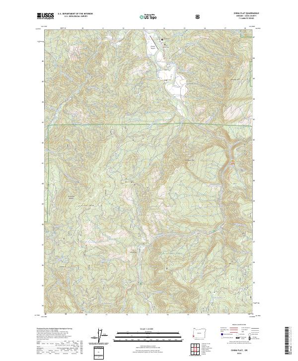
2024 Map of China Flat
USGS Topo · Published 2024About this map
The South Fork Coquille River carves through this portion of the Siskiyou National Forest in Coos County, creating a landscape defined by sharp elevation changes and numerous creek drainages. Located north of the small settlement at China Flat, the map reveals a pattern of rural land use centered on the river valley and the high ridgelines of Johnson Mtn and Eden Ridge. Family heritage is preserved in the landscape at Hayes Cem and the Morris Family Cem near the northern boundary. Transportation in this area relies on forest routes like Salmon Creek Rd and the Johnson Creek Trail, alongside the presence of the Powers Airport. The inclusion of Flannigan Prairie amidst the forested peaks suggests an area of diverse terrain that has supported both timber management and small-scale settlement along the river's path.
Find a feature on this map
57 named features on this map. Tap any name to fly to it.
Don’t see what you’re looking for? This feature index may not catch every label — zoom into the map to look around manually.
Map Details
Editions of this 2024 China Flat Map
This is the sole edition of this map. No revisions or reprints were ever made.
Other maps of this area

1899 · Port Orford
USGS Topo · 1:125,000

1903 · Port Orford
USGS Topo · 1:125,000

1954 · Coos Bay
USGS Topo · 1:250,000

1954 · Bone Mountain
USGS Topo · 1:62,500

1954 · Marial
USGS Topo · 1:62,500

1954 · Agness
USGS Topo · 1:62,500

1954 · Powers
USGS Topo · 1:62,500

1955 · Medford
USGS Topo · 1:250,000

1957 · Medford
USGS Topo · 1:250,000

1958 · Medford
USGS Topo · 1:250,000