
1954 Map of Powers
USGS Topo · Published 1956About this map
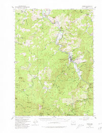
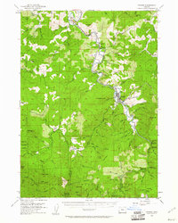
Powers serves as the central hub of this mid-century survey, situated along the Coquille River where the Southern Pacific railroad line terminates. The landscape is a complex network of timber and ranching interests, evidenced by the numerous holdings such as Dement Ranch, Avery Ranch, and Powers Ranch. The importance of the regional timber industry is further highlighted by the Port Orford Cedar Experimental Forest and the extensive Siskiyou National Forest boundary, which covers much of the southern terrain.
Find a feature on this map
99 named features on this map. Tap any name to fly to it.
Don’t see what you’re looking for? This feature index may not catch every label — zoom into the map to look around manually.
Map Details
Editions of this 1954 Powers Map
3 editions found
Other maps of this area

1896 · Coos Bay
USGS Topo · 1:125,000

1898 · Coos Bay
USGS Topo · 1:125,000

1899 · Port Orford
USGS Topo · 1:125,000

1900 · Coos Bay
USGS Topo · 1:125,000

1903 · Port Orford
USGS Topo · 1:125,000

1928 · Sitkum
USGS Topo · 1:125,000

1942 · Coquille
USGS Topo · 1:62,500

1943 · Bandon
USGS Topo · 1:62,500

1944 · Bandon
USGS Topo · 1:62,500

1945 · Coquille
USGS Topo · 1:62,500