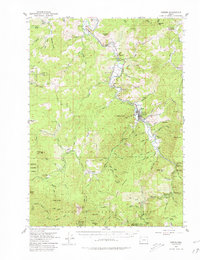
1954 Map of Powers
USGS Topo · Published 1980About this map
The South Fork Coquille River carves a deep path through the timberlands of southwest Oregon, serving as the primary corridor for both the Southern Pacific Railroad and local settlement. The community of Powers functions as a central hub, situated near Bingham Mountain where the river's valley widens slightly. This mid-century survey documents a landscape defined by the intersection of industrial transport and homesteading, with specific operations like Gaylord Siding and Byerly marking the rail line.
Find a feature on this map
102 named features on this map. Tap any name to fly to it.
Don’t see what you’re looking for? This feature index may not catch every label — zoom into the map to look around manually.
Map Details
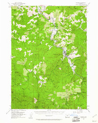
Editions of this 1954 Powers Map
3 editions found

Other maps of this area

1896 · Coos Bay
USGS Topo · 1:125,000

1898 · Coos Bay
USGS Topo · 1:125,000

1899 · Port Orford
USGS Topo · 1:125,000

1900 · Coos Bay
USGS Topo · 1:125,000

1903 · Port Orford
USGS Topo · 1:125,000

1928 · Sitkum
USGS Topo · 1:125,000

1942 · Coquille
USGS Topo · 1:62,500

1943 · Bandon
USGS Topo · 1:62,500

1944 · Bandon
USGS Topo · 1:62,500

1945 · Coquille
USGS Topo · 1:62,500