
1955 Map of Chinle 4 SE
USGS Topo · Published 1957About this map
The Navajo Indian Reservation landscape is defined by the complex drainage systems of the Defiance Plateau during the mid-1950s. This survey, compiled from 1953 aerial photography, reveals a high-desert environment where water management was critical for local inhabitants. Scattered Dams, Tanks, and a Windmill highlight the infrastructure required to support life and livestock near the seasonal courses of Nazlini Wash and White Wash.
Find a feature on this map
15 named features on this map. Tap any name to fly to it.
Don’t see what you’re looking for? This feature index may not catch every label — zoom into the map to look around manually.
Map Details
Editions of this 1955 Chinle 4 SE Map
This is the sole edition of this map. No revisions or reprints were ever made.
Other maps of this area

1886 · Fort Defiance
USGS Topo · 1:250,000

1892 · Fort Defiance
USGS Topo · 1:250,000

1892 · Canyon De Chelly
USGS Topo · 1:250,000

1954 · Shiprock
USGS Topo · 1:250,000

1954 · Gallup
USGS Topo · 1:250,000

1955 · Chinle 4 NE
USGS Topo · 1:24,000

1955 · Zith-Tusayan Butte 2 NW
USGS Topo · 1:24,000
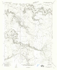
1955 · Sonsala Butte 3 SW
USGS Topo · 1:24,000
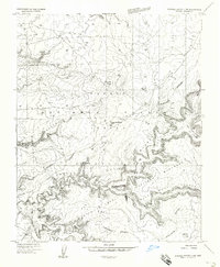
1955 · Sonsala Butte 3 NW
USGS Topo · 1:24,000
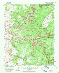
1955 · Canyon Del Muerto
USGS Topo · 1:62,500