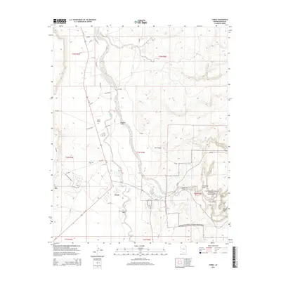
2014 Map of Chinle
USGS Topo · Published 2014About this map
Canyon de Chelly National Monument dominates the southeastern quadrant of this landscape, where the dramatic sandstone formations of Cottonwood Canyon and Tunnel Canyon meet. The settlement of Chinle serves as the central hub, situated near the confluence of the Chinle Wash, Nazlini Wash, and Cottonwood Wash. The map reveals a high concentration of local infrastructure in the town center, including Chinle Water Tank and the nearby Chinle Cem.
Find a feature on this map
50 named features on this map. Tap any name to fly to it.
Don’t see what you’re looking for? This feature index may not catch every label — zoom into the map to look around manually.
Map Details
Editions of this 2014 Chinle Map
This is the sole edition of this map. No revisions or reprints were ever made.
Other maps of this area
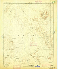
1892 · Canyon De Chelly
USGS Topo · 1:250,000
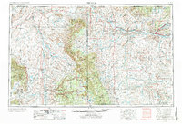
1954 · Shiprock
USGS Topo · 1:250,000
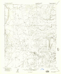
1955 · Chinle 4 NE
USGS Topo · 1:24,000
1955 · Chinle 4 SE
USGS Topo · 1:24,000
1955 · Sonsala Butte 2 SW
USGS Topo · 1:24,000
1955 · Sonsala Butte 3 SW
USGS Topo · 1:24,000
1955 · Sonsala Butte 3 NW
USGS Topo · 1:24,000
1955 · Canyon Del Muerto
USGS Topo · 1:62,500
1955 · Yellowstone Canyon
USGS Topo · 1:62,500
1958 · Shiprock
USGS Topo · 1:250,000