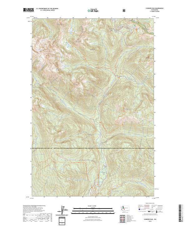
2023 Map of Chinook Pass
USGS Topo · Published 2023About this map
Mount Rainier National Park dominates the landscape of this survey, where the high mountain passes of the Cascades define the transit and drainage patterns of the region. The Ohanapecosh River carves a deep valley through the center of the sheet, flanked by the Cowlitz Divide and Governor's Ridge. Higher elevations are marked by the Sarvant Glaciers and prominent summits like Tamanos Mtn and Yakima Peak.
Find a feature on this map
52 named features on this map. Tap any name to fly to it.
Don’t see what you’re looking for? This feature index may not catch every label — zoom into the map to look around manually.
Map Details
Editions of this 2023 Chinook Pass Map
This is the sole edition of this map. No revisions or reprints were ever made.
Other maps of this area

1902 · Mount Aix
USGS Topo · 1:125,000

1904 · Mt Aix
USGS Topo · 1:125,000

1924 · Mt Rainier
USGS Topo · 1:96,000

1928 · Mt Rainier
USGS Topo · 1:125,000

1950 · Yakima
USGS Topo · 1:250,000

1958 · Yakima
USGS Topo · 1:250,000

1961 · Yakima
USGS Topo · 1:250,000

1962 · Bumping Lake
USGS Topo · 1:62,500

1962 · White Pass
USGS Topo · 1:62,500

1962 · Packwood
USGS Topo · 1:62,500