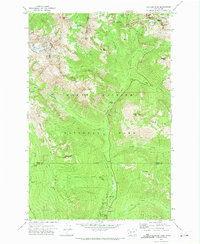
1971 Map of Chinook Pass
USGS Topo · Published 1974About this map
Mount Rainier National Park dominates this early 1970s topographical study, revealing a complex network of high-elevation routes and landmarks within the eastern reaches of the park and Snoqualmie National Forest. The landscape is defined by the convergence of major mountain passes, including Chinook Pass and Cayuse Pass, which serve as critical transit points through the Cascade crest. Notable human infrastructure is integrated into the wilderness, such as the Shriner Peak Lookout Tower and the Nickel Creek Shelter, reflecting the managed recreational use of the era.
Find a feature on this map
56 named features on this map. Tap any name to fly to it.
Don’t see what you’re looking for? This feature index may not catch every label — zoom into the map to look around manually.
Map Details
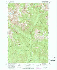
Editions of this 1971 Chinook Pass Map
2 editions found
Other maps of this area

1902 · Mount Aix
USGS Topo · 1:125,000

1904 · Mt Aix
USGS Topo · 1:125,000

1924 · Mt Rainier
USGS Topo · 1:96,000

1928 · Mt Rainier
USGS Topo · 1:125,000

1950 · Yakima
USGS Topo · 1:250,000

1958 · Yakima
USGS Topo · 1:250,000

1961 · Yakima
USGS Topo · 1:250,000

1962 · Bumping Lake
USGS Topo · 1:62,500

1962 · White Pass
USGS Topo · 1:62,500

1962 · Packwood
USGS Topo · 1:62,500