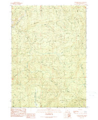
1990 Map of Chipmunk Ridge
USGS Topo · Published 1990About this map
Emerson Ridge and Boulder Ridge define the steep, drainage-cut topography of this Douglas County timberland during the late twentieth century. The Middle Fork Coquille River enters the terrain near Mystic Creek, while a network of 4WD tracks provides access to the high elevations of Chipmunk Ridge. Evidence of local industry and resource extraction is visible through several labeled Quarry and Borrow Pit locations, particularly along the lower slopes and creek beds.
Find a feature on this map
28 named features on this map. Tap any name to fly to it.
Don’t see what you’re looking for? This feature index may not catch every label — zoom into the map to look around manually.
Map Details
Editions of this 1990 Chipmunk Ridge Map
This is the sole edition of this map. No revisions or reprints were ever made.
Other maps of this area

1928 · Sitkum
USGS Topo · 1:125,000

1946 · Dutchman Butte
USGS Topo · 1:62,500

1948 · Dutchman Butte
USGS Topo · 1:62,500

1954 · Bone Mountain
USGS Topo · 1:62,500

1955 · Camas Valley
USGS Topo · 1:62,500

1955 · Sitkum
USGS Topo · 1:62,500

1955 · Medford
USGS Topo · 1:250,000

1957 · Medford
USGS Topo · 1:250,000

1958 · Medford
USGS Topo · 1:250,000

1958 · Roseburg
USGS Topo · 1:250,000