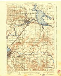
1936 Map of Chippewa Falls
USGS Topo · Published 1936About this map
The confluence of the Chippewa River and the Eau Claire River anchors this mid-1930s landscape, defined by the industrial and hydro-electric developments of Chippewa Falls and Eau Claire. The newly created reservoir of Lake Wis Sota dominates the northeast, where the Yellow River meets the main channel near Wissota Beach. This era is marked by a high density of rural infrastructure, visible in the dozens of district schools such as Oak Grove Sch and Thornson Sch that served the farming communities of Hallie and Seymour.
Find a feature on this map
78 named features on this map. Tap any name to fly to it.
Don’t see what you’re looking for? This feature index may not catch every label — zoom into the map to look around manually.
Map Details
Editions of this 1936 Chippewa Falls Map
3 editions found
Other maps of this area

1927 · Strum
USGS Topo · 1:62,500

1930 · Strum
USGS Topo · 1:62,500

1932 · Mondovi
USGS Topo · 1:62,500

1934 · Elk Mound
USGS Topo · 1:62,500

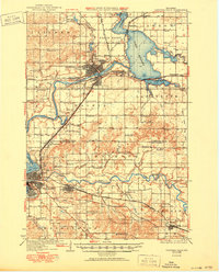
1934 · Chippewa Falls
USGS Topo · 1:62,500

1935 · Osseo
USGS Topo · 1:48,000

1936 · Chippewa Falls
USGS Topo · 1:62,500

1936 · Elk Mound
USGS Topo · 1:62,500

1940 · Osseo
USGS Topo · 1:62,500

1949 · Bloomer
USGS Topo · 1:62,500