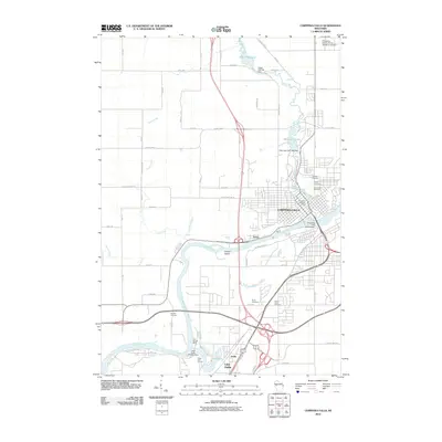
1972 Map of Chippewa Falls
USGS Topo · Published 1990About this map
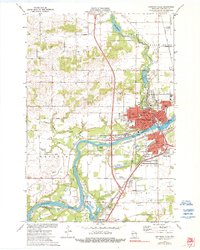
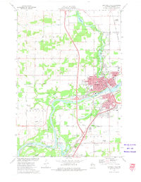
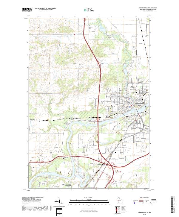
Chippewa Falls serves as the industrial and civic anchor of this 1972 landscape, where the confluence of the Chippewa River and Duncan Creek shaped the town's development. The map details a dense urban core featuring the Courthouse, City Hall, and several parochial institutions like St Joseph Hosp and McDonell Central High Sch. Beyond the city limits, the landscape transitions into the rural townships of Tilden and Wheaton, characterized by numerous Gravel Pits and Sandpits that indicate the region's glacial geology and aggregate industry.
Find a feature on this map
59 named features on this map. Tap any name to fly to it.
Don’t see what you’re looking for? This feature index may not catch every label — zoom into the map to look around manually.
Map Details
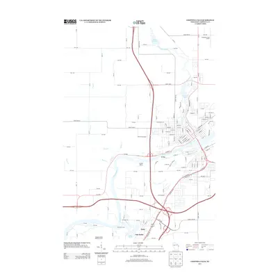
Editions of this 1972 Chippewa Falls Map
2 editions found
Historical Maps of Eau Claire Through Time
8 maps found
1934 Chippewa Falls
Chippewa County, WI
1936 Chippewa Falls
Chippewa County, WI
1972 Chippewa Falls
Chippewa County, WI
2010 Chippewa Falls
Chippewa County, WI
2013 Chippewa Falls
Chippewa County, WI
2015 Chippewa Falls
Chippewa County, WI
2018 Chippewa Falls
Chippewa County, WI
2022 Chippewa Falls
Chippewa County, WI