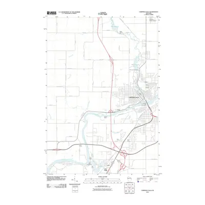
2010 Map of Chippewa Falls
USGS Topo · Published 2010About this map
Chippewa Falls sits at a critical bend in the Chippewa River, where the landscape transitions into a complex network of managed waterways and historic settlements. This 2010 survey highlights the industrial and civic development of the region, anchored by the Chippewa Falls WP304 Dam and the nearby Irvine district. The map documents numerous heritage sites essential for local history research, including a cluster of burial grounds such as Calvary Cemetery, Hope Cemetery, and Forest Hill Cemetery situated near the city center.
Find a feature on this map
47 named features on this map. Tap any name to fly to it.
Don’t see what you’re looking for? This feature index may not catch every label — zoom into the map to look around manually.
Map Details
Editions of this 2010 Chippewa Falls Map
This is the sole edition of this map. No revisions or reprints were ever made.
Other maps of this area

1934 · Elk Mound
USGS Topo · 1:62,500

1934 · Chippewa Falls
USGS Topo · 1:62,500

1936 · Chippewa Falls
USGS Topo · 1:62,500

1936 · Elk Mound
USGS Topo · 1:62,500

1949 · Bloomer
USGS Topo · 1:62,500

1949 · New Auburn
USGS Topo · 1:62,500

1951 · Bloomer
USGS Topo · 1:62,500

1951 · New Auburn
USGS Topo · 1:62,500

1953 · Eau Claire
USGS Topo · 1:250,000

1953 · Rice Lake
USGS Topo · 1:250,000