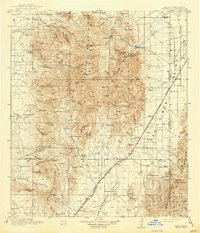
1919 Map of Chiricahua
USGS Topo · Published 1940About this map
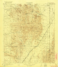
The Chiricahua Mountains dominate this high-desert landscape, serving as a backdrop for a ranching and mining economy at the height of its early 20th-century development. Established outposts like Paradise and Bernardino anchor the map, while the El Paso and Southwestern Railroad cuts through the San Bernardino Valley and Animas Valley, providing a vital link for the remote settlements. Numerous cattle operations, including the High Lonesome Ranch and Staffords Ranch, are scattered throughout the canyons and draws, illustrating the importance of water sources like O'Keefe Spring and Fife Spring. Mining activity is prominent in the northern reaches at the Cochise Mine and Hilltop Mine. Educational and administrative infrastructure is well-defined, featuring several remote schoolhouses such as the Texizona School and the Portal Ranger Sta within the Chiricahua National Forest.
Find a feature on this map
126 named features on this map. Tap any name to fly to it.
Don’t see what you’re looking for? This feature index may not catch every label — zoom into the map to look around manually.
Map Details
Editions of this 1919 Chiricahua Map
3 editions found

Other maps of this area

1914 · Douglas
USGS Topo · 1:62,500

1916 · Pearce
USGS Topo · 1:125,000

1916 · Douglas
USGS Topo · 1:125,000

1917 · San Simon
USGS Topo · 1:125,000

1917 · Chiricahua
USGS Topo · 1:125,000

1918 · Cienega Springs
USGS Topo · 1:62,500

1918 · Animas Peak
USGS Topo · 1:62,500

1918 · Pratt
USGS Topo · 1:62,500

1919 · Pratt
USGS Topo · 1:62,500

1919 · Douglas
USGS Topo · 1:125,000