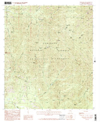
1986 Map of Chiricahua Peak
USGS Topo · Published 1986About this map
Chiricahua Peak stands as the central landmark of this high-elevation landscape within the Coronado National Forest. This 1980s survey captures a complex network of canyons and peaks that define the Chiricahua Mountains, providing a detailed look at the drainage patterns of Turkey Creek and Rucker Creek. The naming of features such as Mormon Spring, Booger Spring, and Bear Wallow Spring suggests a history of human reliance on these isolated water sources in a primarily arid environment.
Find a feature on this map
62 named features on this map. Tap any name to fly to it.
Don’t see what you’re looking for? This feature index may not catch every label — zoom into the map to look around manually.
Map Details
Editions of this 1986 Chiricahua Peak Map
2 editions found
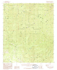
Other maps of this area

1917 · Chiricahua
USGS Topo · 1:125,000

1919 · Chiricahua
USGS Topo · 1:125,000

1926 · Rodeo
USGS Topo · 1:62,500

1926 · Rucker
USGS Topo · 1:62,500

1926 · Pedregosa
USGS Topo · 1:62,500

1940 · Apache
USGS Topo · 1:62,500

1955 · Douglas
USGS Topo · 1:250,000

1958 · Chiricahua Peak
USGS Topo · 1:62,500

1958 · Apache
USGS Topo · 1:62,500
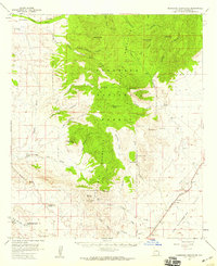
1958 · Pedregosa Mountains
USGS Topo · 1:62,500