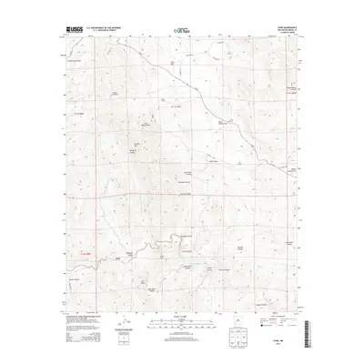
2013 Map of Chise
USGS Topo · Published 2013About this map
The settlement of Chise sits at the base of Sierra Cuchillo, where the landscape is defined by a dense network of canyons and drainage draws typical of the Sierra County interior. This 2013 survey reveals a ranching and land-management economy centered on isolated outposts like L C Ranch, Hok Ranch, and Rouse Camp. The movement of water through this arid environment is recorded in several livestock tanks and springs, including Warm Springs and Margarita Tank.
Find a feature on this map
44 named features on this map. Tap any name to fly to it.
Don’t see what you’re looking for? This feature index may not catch every label — zoom into the map to look around manually.
Map Details
Editions of this 2013 Chise Map
This is the sole edition of this map. No revisions or reprints were ever made.
Other maps of this area
1954 · Tularosa
USGS Topo · 1:250,000
1958 · Tularosa
USGS Topo · 1:250,000
1961 · Priest Tank
USGS Topo · 1:24,000
1961 · Williamsburg NW
USGS Topo · 1:24,000
1961 · Monticello
USGS Topo · 1:24,000
1963 · Thumb Tank Peak
USGS Topo · 1:24,000
1963 · Sugarloaf Peak
USGS Topo · 1:24,000
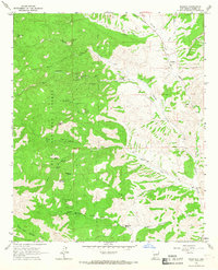
1965 · Winston
USGS Topo · 1:24,000
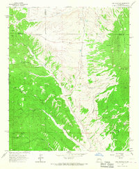
1965 · Iron Mountain
USGS Topo · 1:24,000
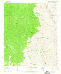
1965 · Jaralosa Mountain
USGS Topo · 1:24,000