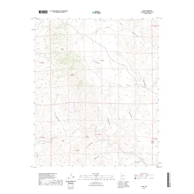
2023 Map of Chise
USGS Topo · Published 2023About this map
Sierra Cuchillo and Cuchillo Mountain dominate this high-desert landscape in Sierra County, where deep canyons and seasonal drainages define the settlement pattern. The tiny community of Chise sits near the banks of Cuchillo Negro Creek, connected to the wider world by the winding Chiz Rd. This arid environment is sustained by a network of springs and tanks, such as Warm Springs and Victoria Tank, which provide critical water sources in a region primarily used for ranching and livestock.
Find a feature on this map
37 named features on this map. Tap any name to fly to it.
Don’t see what you’re looking for? This feature index may not catch every label — zoom into the map to look around manually.
Map Details
Editions of this 2023 Chise Map
This is the sole edition of this map. No revisions or reprints were ever made.
Other maps of this area

1954 · Tularosa
USGS Topo · 1:250,000

1958 · Tularosa
USGS Topo · 1:250,000

1961 · Priest Tank
USGS Topo · 1:24,000

1961 · Williamsburg NW
USGS Topo · 1:24,000

1961 · Monticello
USGS Topo · 1:24,000

1963 · Thumb Tank Peak
USGS Topo · 1:24,000

1963 · Sugarloaf Peak
USGS Topo · 1:24,000

1965 · Winston
USGS Topo · 1:24,000

1965 · Iron Mountain
USGS Topo · 1:24,000

1965 · Jaralosa Mountain
USGS Topo · 1:24,000