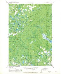
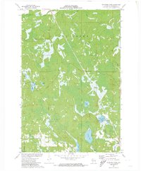
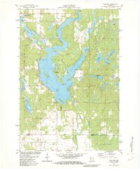
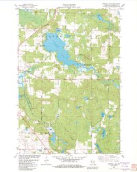
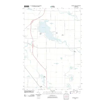
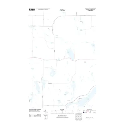
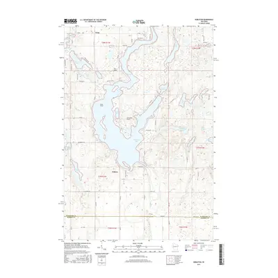
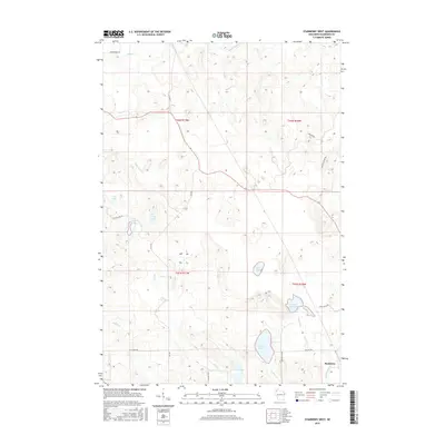
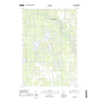
1947 Map of Chittamo
USGS Topo · Published 1969About this map
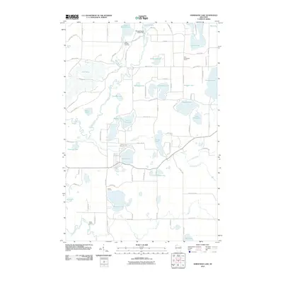
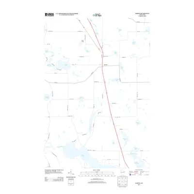
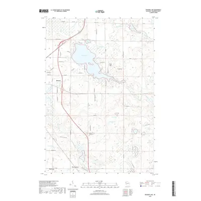
Glacial lake country and the intricate drainage of the Totagatic River define this corner of Northwest Wisconsin in the late 1940s. The landscape is a patchwork of water and wetland, featuring dozens of named bodies such as Sugar Bush Lake, Mulligan Lake, and Snake Lake. Human settlement is sparse and concentrated near the Minneapolis St Paul and Sault Ste Marie RR corridor, where the hamlets of Stanbery and Harmon are located.
Find a feature on this map
55 named features on this map. Tap any name to fly to it.
Don’t see what you’re looking for? This feature index may not catch every label — zoom into the map to look around manually.
Map Details
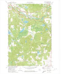
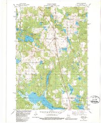
Editions of this 1947 Chittamo Map
2 editions found

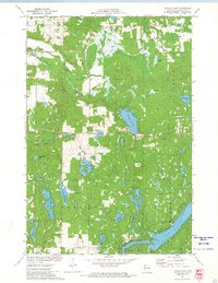
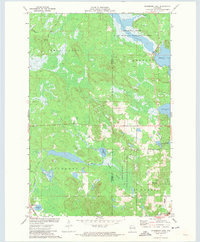
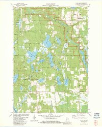
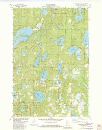
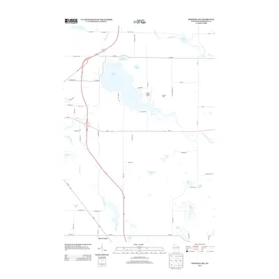
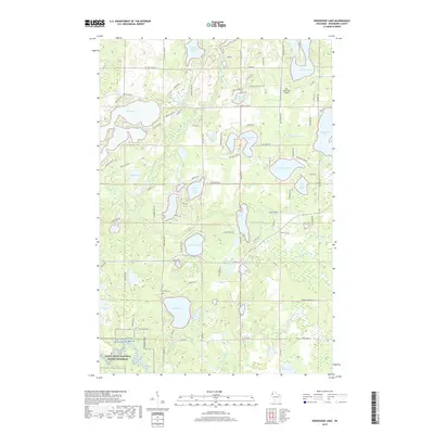
Historical Maps of Hayward Through Time
56 maps found
1947 Chittamo
Washburn County, WI

1949 Chittamo
Washburn County, WI
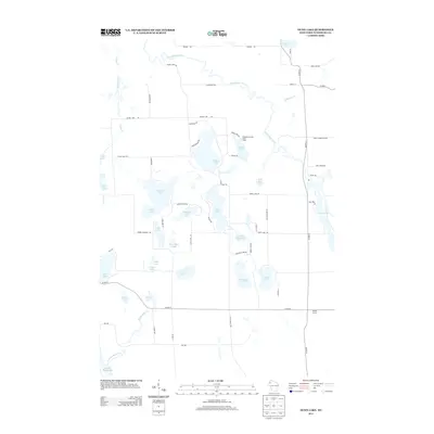
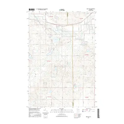
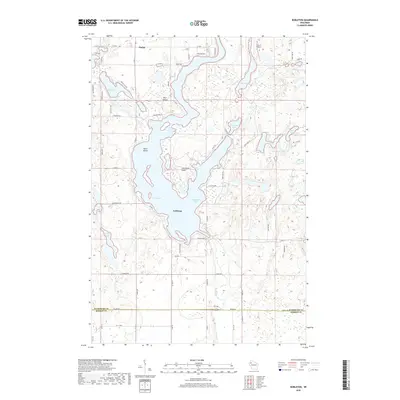
1971 Bean Lake
Washburn County, WI
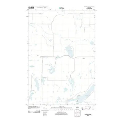
1971 Potato Lake
Washburn County, WI
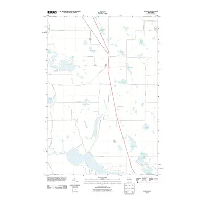
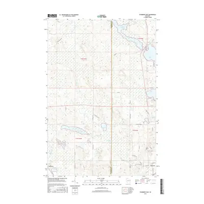
1971 Stanberry East
Washburn County, WI
1971 Stanberry West
Washburn County, WI
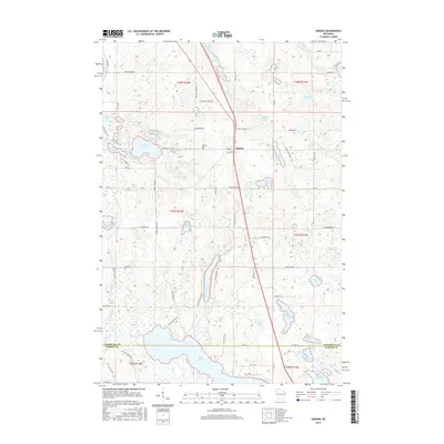
1981 Sarona
Washburn County, WI
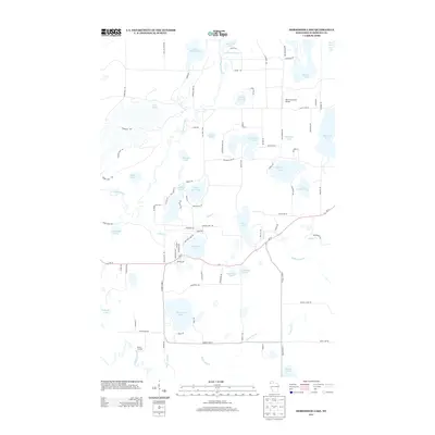
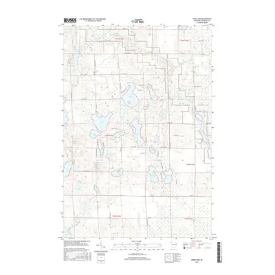
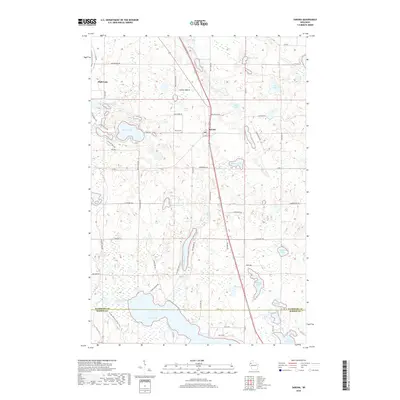
1982 Dunn Lake
Washburn County, WI
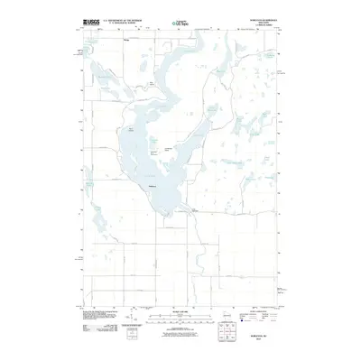
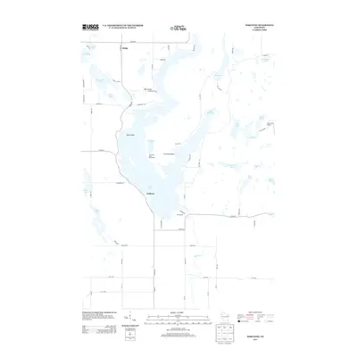
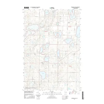
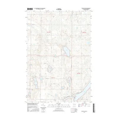
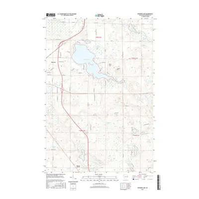
1982 Horseshoe Lake
Washburn County, WI
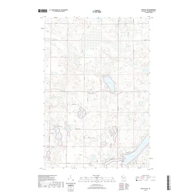
1982 Nobleton
Washburn County, WI
1982 Spooner Lake
Washburn County, WI
2010 Bean Lake
Washburn County, WI
2010 Dunn Lake
Washburn County, WI
2010 Horseshoe Lake
Washburn County, WI
2010 Nobleton
Washburn County, WI
2010 Potato Lake
Washburn County, WI
2010 Sarona
Washburn County, WI
2010 Spooner Lake
Washburn County, WI
2010 Stanberry East
Washburn County, WI
2010 Stanberry West
Washburn County, WI
2013 Bean Lake
Washburn County, WI
2013 Dunn Lake
Washburn County, WI
2013 Horseshoe Lake
Washburn County, WI
2013 Nobleton
Washburn County, WI
2013 Potato Lake
Washburn County, WI
2013 Sarona
Washburn County, WI
2013 Spooner Lake
Washburn County, WI
2013 Stanberry East
Washburn County, WI
2013 Stanberry West
Washburn County, WI
2015 Bean Lake
Washburn County, WI
2015 Dunn Lake
Washburn County, WI
2015 Horseshoe Lake
Washburn County, WI
2015 Nobleton
Washburn County, WI
2015 Potato Lake
Washburn County, WI
2015 Sarona
Washburn County, WI
2015 Spooner Lake
Washburn County, WI
2015 Stanberry East
Washburn County, WI
2015 Stanberry West
Washburn County, WI
2018 Nobleton
Washburn County, WI
2018 Potato Lake
Washburn County, WI
2018 Sarona
Washburn County, WI
2018 Spooner Lake
Washburn County, WI
2018 Stanberry East
Washburn County, WI
2018 Stanberry West
Washburn County, WI
2019 Bean Lake
Washburn County, WI
2019 Dunn Lake
Washburn County, WI
2019 Horseshoe Lake
Washburn County, WI
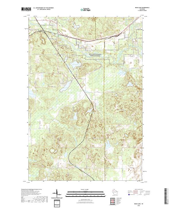
2022 Bean Lake
Washburn County, WI
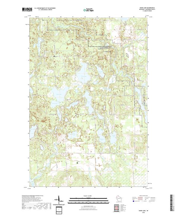
2022 Dunn Lake
Washburn County, WI
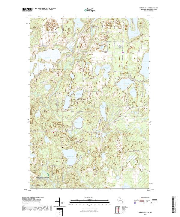
2022 Horseshoe Lake
Washburn County, WI
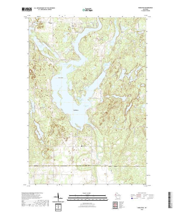
2022 Nobleton
Washburn County, WI
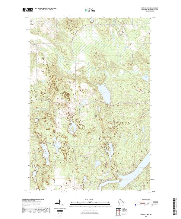
2022 Potato Lake
Washburn County, WI
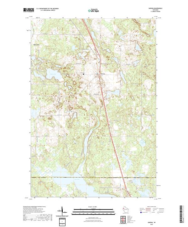
2022 Sarona
Washburn County, WI
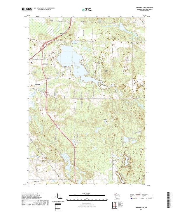
2022 Spooner Lake
Washburn County, WI
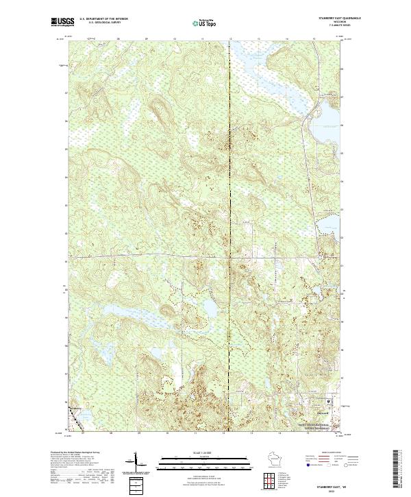
2022 Stanberry East
Washburn County, WI
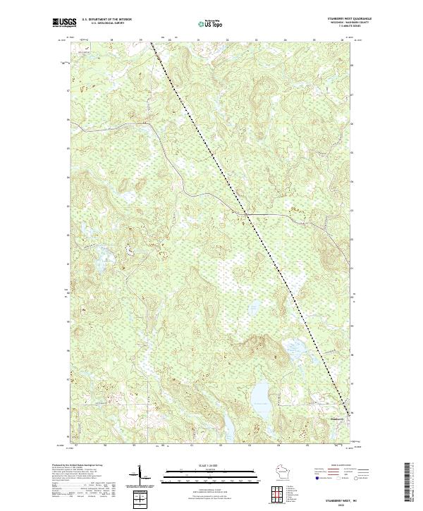
2022 Stanberry West
Washburn County, WI