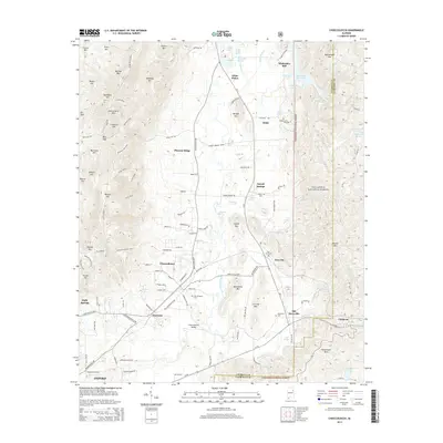
2014 Map of Choccolocco
USGS Topo · Published 2014About this map
Choccolocco and the surrounding valley floor serve as a hub for small communities and family landmarks along the eastern edge of the state. This landscape is defined by the sharp rise of Choccolocco Mtn and Morgan Mtn to the west, and the protected expanse of the Talladega National Forest to the east. The map documents numerous community burial sites, including Hudson Cem and Hanna Cem, which offer significant value for genealogical research in this part of Calhoun County.
Find a feature on this map
129 named features on this map. Tap any name to fly to it.
Don’t see what you’re looking for? This feature index may not catch every label — zoom into the map to look around manually.
Map Details
Editions of this 2014 Choccolocco Map
This is the sole edition of this map. No revisions or reprints were ever made.
Other maps of this area

1900 · Anniston
USGS Topo · 1:125,000

1947 · Oxford
USGS Topo · 1:24,000

1947 · Anniston
USGS Topo · 1:24,000

1947 · Jacksonville
USGS Topo · 1:24,000

1947 · Jacksonville
USGS Topo · 1:62,500

1950 · Anniston
USGS Topo · 1:62,500

1953 · Atlanta
USGS Topo · 1:250,000

1954 · Choccolocco
USGS Topo · 1:24,000

1956 · Oxford
USGS Topo · 1:24,000

1956 · Anniston
USGS Topo · 1:24,000