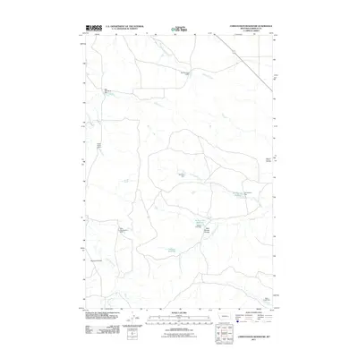
2011 Map of Christenson Reservoir
USGS Topo · Published 2011About this map
Christenson Reservoir and its namesake dam form a central water management point in this Garfield County landscape, which is defined by a complex network of ranching infrastructure and seasonal watercourses. The territory is marked by numerous small-scale containment structures like Harmony Dam and the Smith Ranch 4 Dam, indicating a reliance on captured runoff for local agriculture and livestock.
Find a feature on this map
17 named features on this map. Tap any name to fly to it.
Don’t see what you’re looking for? This feature index may not catch every label — zoom into the map to look around manually.
Map Details
Editions of this 2011 Christenson Reservoir Map
This is the sole edition of this map. No revisions or reprints were ever made.
Other maps of this area

1954 · Jordan
USGS Topo · 1:250,000

1954 · Forsyth
USGS Topo · 1:250,000

1956 · Jordan
USGS Topo · 1:250,000

1957 · Forsyth
USGS Topo · 1:250,000

1958 · Jordan
USGS Topo · 1:250,000

1958 · Forsyth
USGS Topo · 1:250,000

1964 · Jordan
USGS Topo · 1:250,000

1965 · Black Hills
USGS Topo · 1:24,000

1965 · Needle Butte Reservoir
USGS Topo · 1:24,000

1965 · Needle Butte
USGS Topo · 1:24,000