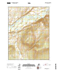
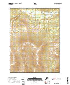
2018 Map of Christian B-5 NW
USGS Topo · Published 2018About this map
The East Fork Chandalar River dominates the northern reaches of this remote interior Alaska landscape within the Yukon-Koyukuk region. In this high-latitude terrain, the river follows a meandering course eastward, shaped by the surrounding topography of the t31n r6e and t31n r7e townships. The map details the intricate elevation changes south of the river valley, where the land rises sharply towards unnamed peaks and ridges. This 2018 survey provides an essential look at the physical geography of the Brooks Range foothills, where the absence of roads or permanent settlements emphasizes the wilderness character of the t30n r6e and t30n r7e survey blocks. For researchers of Alaskan geography or land management, this document offers a clear view of the natural water drainage and terrain contours that define this Arctic watershed.
Find a feature on this map
5 named features on this map. Tap any name to fly to it.
Don’t see what you’re looking for? This feature index may not catch every label — zoom into the map to look around manually.
Map Details
Editions of this 2018 Christian B-5 NW Map
This is the sole edition of this map. No revisions or reprints were ever made.
Other maps of this area

1951 · Christian
USGS Topo · 1:250,000

1956 · Christian
USGS Topo · 1:250,000
1990 · Christian C-6
USGS Topo · 1:63,360
1990 · Christian B-6
USGS Topo · 1:63,360
1990 · Christian C-5
USGS Topo · 1:63,360
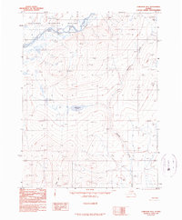
1990 · Christian B-5
USGS Topo · 1:63,360
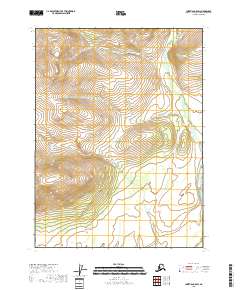
2018 · Christian C-5 SW
USGS Topo · 1:25,000
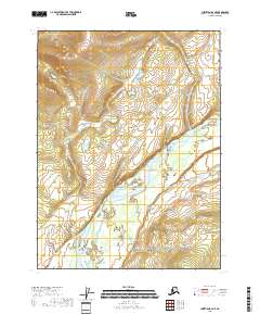
2018 · Christian B-6 NE
USGS Topo · 1:25,000
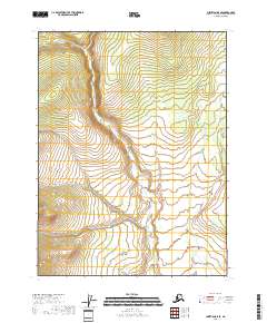
2018 · Christian B-5 SE
USGS Topo · 1:25,000
2018 · Christian B-5 SW
USGS Topo · 1:25,000