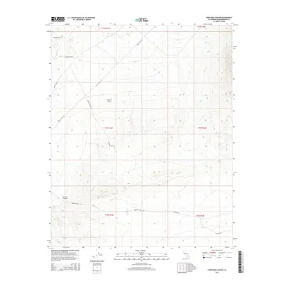
2015 Map of Christmas Canyon
USGS Topo · Published 2015About this map
The Pinnacles stand as a prominent geological landmark in the northwestern corner of this 2015 survey, overlooking the southern reaches of Searles Valley. This arid landscape in the Mojave Desert is defined by its drainage patterns and historical thoroughfares, including the winding course of Teagle Wash and its associated Teagle Wash Rd. The terrain is characterized by significant elevation changes, particularly through the eponymous Christmas Canyon in the southwest. A network of desert roads, including Randsburg Rd and Randsburg Wash Rd, suggests the area's continued importance for regional transit and access between the valley and the surrounding high desert. The map provides a detailed view of the township and range survey system, documenting the legal boundaries of sections within the San Bernardino County desert landscape.
Find a feature on this map
15 named features on this map. Tap any name to fly to it.
Don’t see what you’re looking for? This feature index may not catch every label — zoom into the map to look around manually.
Map Details
Editions of this 2015 Christmas Canyon Map
This is the sole edition of this map. No revisions or reprints were ever made.
Other maps of this area

1915 · Searles Lake
USGS Topo · 1:250,000

1947 · Trona
USGS Topo · 1:250,000

1948 · Trona
USGS Topo · 1:250,000

1949 · Searles Lake
USGS Topo · 1:62,500

1950 · Searles Lake
USGS Topo · 1:62,500

1950 · Wingate Pass
USGS Topo · 1:62,500

1951 · Wingate Pass
USGS Topo · 1:62,500

1953 · Trona
USGS Topo · 1:250,000

1954 · Pilot Knob
USGS Topo · 1:62,500

1954 · Cuddeback Lake
USGS Topo · 1:62,500