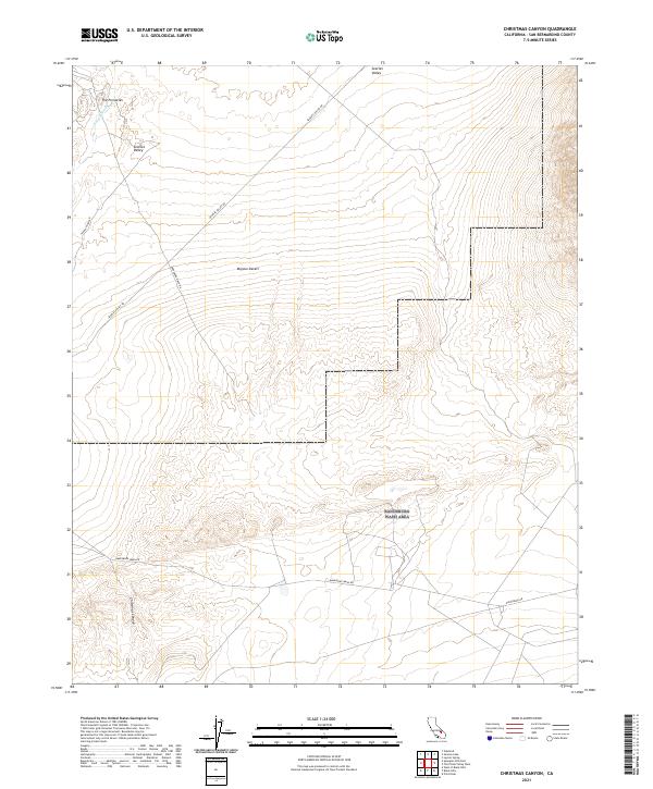
2021 Map of Christmas Canyon
USGS Topo · Published 2021About this map
Searles Valley and the northern reaches of the Mojave Desert define this arid landscape, where the shifting sands of Teagle Wash cut through the terrain. A notable landmark in the northwest corner, The Pinnacles, provides a distinct geological point of reference overlooking the valley floor. The map highlights the intersection of several desert thoroughfares, including Searles Valley Rd and Randsburg Wash Rd, which facilitate movement across this expansive basin.
Find a feature on this map
15 named features on this map. Tap any name to fly to it.
Don’t see what you’re looking for? This feature index may not catch every label — zoom into the map to look around manually.
Map Details
Editions of this 2021 Christmas Canyon Map
This is the sole edition of this map. No revisions or reprints were ever made.
Other maps of this area

1915 · Searles Lake
USGS Topo · 1:250,000

1947 · Trona
USGS Topo · 1:250,000

1948 · Trona
USGS Topo · 1:250,000

1949 · Searles Lake
USGS Topo · 1:62,500

1950 · Searles Lake
USGS Topo · 1:62,500

1950 · Wingate Pass
USGS Topo · 1:62,500

1951 · Wingate Pass
USGS Topo · 1:62,500

1953 · Trona
USGS Topo · 1:250,000

1954 · Pilot Knob
USGS Topo · 1:62,500

1954 · Cuddeback Lake
USGS Topo · 1:62,500