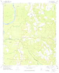
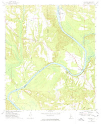
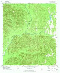
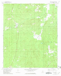
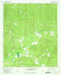
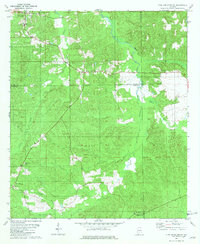
1972 Map of Chrysler
USGS Topo · Published 1974This historical map portrays the area of Chrysler in 1972, primarily covering Monroe County as well as portions of Baldwin County and Clarke County. Featuring a scale of 1:24000, this map provides a highly detailed snapshot of the terrain, roads, buildings, counties, and historical landmarks in the Chrysler region at the time. Published in 1974, it is one of 2 known editions of this map due to revisions or reprints.
Find a feature on this map
36 named features on this map. Tap any name to fly to it.
Don’t see what you’re looking for? This feature index may not catch every label — zoom into the map to look around manually.
Map Details
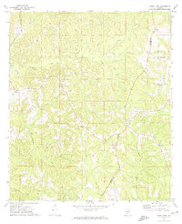
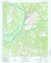
Editions of this 1972 Chrysler Map
2 editions found
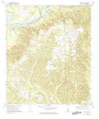
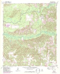
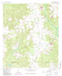
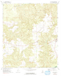
Historical Maps of Mineola Through Time
14 maps found
1971 Burnt Corn
Monroe County, AL
1971 Skinnerton
Monroe County, AL
1972 Chrysler
Monroe County, AL
1972 Claiborne
Monroe County, AL
1972 Flynns Lake
Monroe County, AL
1972 Franklin
Monroe County, AL
1972 Mexia
Monroe County, AL
1972 Natchez
Monroe County, AL
1972 Uriah East
Monroe County, AL
1972 Uriah West
Monroe County, AL
1973 Hybart
Monroe County, AL
1981 Mc Williams
Monroe County, AL
1981 Nadawah
Monroe County, AL
1981 Pine Apple South
Monroe County, AL