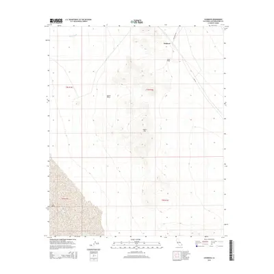
2015 Map of Chubbuck
USGS Topo · Published 2015About this map
Chubbuck stands as the primary reference point in this arid stretch of the Mojave Desert. The landscape is dominated by the prominence of the Kilbeck Hills, which provide a sharp vertical contrast to the surrounding basins. This interior drainage environment is characterized by the broad sweeps of Ward Valley to the north and the expansive Cadiz Valley in the south, linked by the drainage of Browns Wash. The map documents a sparsely settled region where transportation is defined by a few key corridors, including Skeleton Pass Rd and Cadiz Rd, tracing the paths through the high-desert terrain. The geometric precision of township and range lines like t3n r16e overlay a wilderness where natural topography dictates the pace of movement and settlement.
Find a feature on this map
12 named features on this map. Tap any name to fly to it.
Don’t see what you’re looking for? This feature index may not catch every label — zoom into the map to look around manually.
Map Details
Editions of this 2015 Chubbuck Map
This is the sole edition of this map. No revisions or reprints were ever made.
Other maps of this area

1942 · Amboy
USGS Topo · 1:250,000

1943 · Amboy
USGS Topo · 1:250,000

1943 · Cadiz Lake
USGS Topo · 1:62,500

1943 · Cadiz Valley
USGS Topo · 1:62,500

1943 · Iron Mountains
USGS Topo · 1:62,500

1954 · Needles
USGS Topo · 1:250,000

1956 · Needles
USGS Topo · 1:250,000

1956 · Milligan
USGS Topo · 1:62,500

1956 · Iron Mountains
USGS Topo · 1:62,500

1956 · Cadiz Lake
USGS Topo · 1:62,500