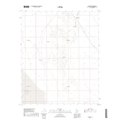
2018 Map of Chubbuck
USGS Topo · Published 2018About this map
Chubbuck sits at a remote desert crossroads where the Cadiz Rd meets the northern reaches of the Kilbeck Hills. This 2018 survey reveals a landscape of transition between the Cadiz Valley and Ward Valley, marked by the distinct topography of the Mojave Desert. The presence of the Salt Evaporation Plan Rd in the southwestern corner suggests specialized industrial land use, contrasting with the natural drainage of Browns Wash to the north. These features point to a history of desert commerce and transport, where infrastructure like Skeleton Pass Rd provides essential passage through the arid terrain of San Bernardino County.
Find a feature on this map
13 named features on this map. Tap any name to fly to it.
Don’t see what you’re looking for? This feature index may not catch every label — zoom into the map to look around manually.
Map Details
Editions of this 2018 Chubbuck Map
This is the sole edition of this map. No revisions or reprints were ever made.
Other maps of this area

1942 · Amboy
USGS Topo · 1:250,000

1943 · Amboy
USGS Topo · 1:250,000

1943 · Cadiz Lake
USGS Topo · 1:62,500

1943 · Cadiz Valley
USGS Topo · 1:62,500

1943 · Iron Mountains
USGS Topo · 1:62,500

1954 · Needles
USGS Topo · 1:250,000

1956 · Needles
USGS Topo · 1:250,000

1956 · Milligan
USGS Topo · 1:62,500

1956 · Iron Mountains
USGS Topo · 1:62,500

1956 · Cadiz Lake
USGS Topo · 1:62,500