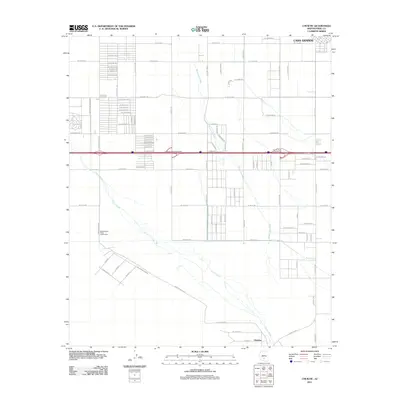
2011 Map of Chuichu
USGS Topo · Published 2011About this map
The northern edge of the Tohono O’odham Nation and the southern reach of Casa Grande meet in this desert landscape defined by irrigation and infrastructure. The settlement of Chuichu anchors the southern portion of the sheet, situated near the braided channels of Greene Wash and Santa Cruz Wash. These ephemeral watercourses trace a natural path through the Sonoran Desert, contrasting with the rigid agricultural and residential grid extending from the north.
Find a feature on this map
89 named features on this map. Tap any name to fly to it.
Don’t see what you’re looking for? This feature index may not catch every label — zoom into the map to look around manually.
Map Details
Editions of this 2011 Chuichu Map
This is the sole edition of this map. No revisions or reprints were ever made.
Other maps of this area

1922 · Casa Grande
USGS Topo · 1:62,500

1922 · Signal Peak
USGS Topo · 1:62,500

1924 · Signal Peak
USGS Topo · 1:62,500

1924 · Casa Grande
USGS Topo · 1:62,500

1942 · Silver Reef Mountains
USGS Topo · 1:62,500

1947 · Eloy
USGS Topo · 1:62,500

1948 · Eloy
USGS Topo · 1:62,500

1956 · Tucson
USGS Topo · 1:250,000

1958 · Tucson
USGS Topo · 1:250,000

1959 · Tucson
USGS Topo · 1:250,000