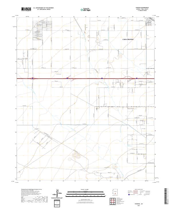
2021 Map of Chuichu
USGS Topo · Published 2021About this map
Casa Grande serves as a major landmark on this survey of the Arizona landscape south of its primary developed center. The map details the complex drainage systems characteristic of Pinal County, where ephemeral watercourses like Santa Cruz Wash and Greene Wash wind across the basin floor. This network is augmented by the Casa Grande Canal in the northeast, showing the vital infrastructure required for regional land management.
Find a feature on this map
95 named features on this map. Tap any name to fly to it.
Don’t see what you’re looking for? This feature index may not catch every label — zoom into the map to look around manually.
Map Details
Editions of this 2021 Chuichu Map
This is the sole edition of this map. No revisions or reprints were ever made.
Other maps of this area

1922 · Casa Grande
USGS Topo · 1:62,500

1922 · Signal Peak
USGS Topo · 1:62,500

1924 · Signal Peak
USGS Topo · 1:62,500

1924 · Casa Grande
USGS Topo · 1:62,500

1942 · Silver Reef Mountains
USGS Topo · 1:62,500

1947 · Eloy
USGS Topo · 1:62,500

1948 · Eloy
USGS Topo · 1:62,500

1956 · Tucson
USGS Topo · 1:250,000

1958 · Tucson
USGS Topo · 1:250,000

1959 · Tucson
USGS Topo · 1:250,000