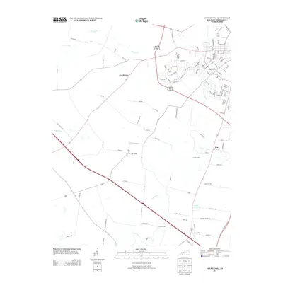
2013 Map of Church Hill
USGS Topo · Published 2013About this map
Little River and its various branches, including the N Fork Little River and S Fork Little River, carve through the rural landscape south of Hopkinsville. Small crossroads and residential pockets like Church Hill and Merrittstown serve as central points for a network of country roads, while Beverly sits at a junction further south near Swallow Spring Pond. The terrain is punctuated by landmarks such as Cedar Bluff and the specifically named Striped Bridge over the river. This survey captures a moment of transition where traditional rural tracts meet modern transport corridors, including the Edward T. Breathitt Pennyrile Pkwy cutting through the southeastern corner. Genealogists and local historians can trace property locations along family-named routes like Mason Mill Rd, Hensley Rd, and G R Adams Rd.
Find a feature on this map
120 named features on this map. Tap any name to fly to it.
Don’t see what you’re looking for? This feature index may not catch every label — zoom into the map to look around manually.
Map Details
Editions of this 2013 Church Hill Map
This is the sole edition of this map. No revisions or reprints were ever made.
Other maps of this area

1944 · Clarksville
USGS Topo · 1:50,000

1950 · Caledonia
USGS Topo · 1:24,000

1951 · Church Hill
USGS Topo · 1:24,000

1951 · Caledonia
USGS Topo · 1:24,000

1951 · Hopkinsville
USGS Topo · 1:24,000

1951 · Roaring Spring
USGS Topo · 1:24,000

1951 · Herndon
USGS Topo · 1:24,000

1951 · Oak Grove
USGS Topo · 1:24,000

1952 · Pleasant Green Hill
USGS Topo · 1:24,000

1952 · Kelly
USGS Topo · 1:24,000