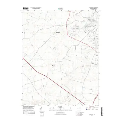
2016 Map of Church Hill
USGS Topo · Published 2016About this map
Hopkinsville anchors the northeastern portion of this Christian County landscape, where the N Fork Little River and S Fork Little River converge. The terrain is defined by a dense network of suburban developments and rural road systems that branch out from the city toward outlying communities. Small residential clusters like Merrittstown, West Brook, and the namesake Church Hill are interspersed with agricultural land and small drainage basins.
Find a feature on this map
102 named features on this map. Tap any name to fly to it.
Don’t see what you’re looking for? This feature index may not catch every label — zoom into the map to look around manually.
Map Details
Editions of this 2016 Church Hill Map
This is the sole edition of this map. No revisions or reprints were ever made.
Other maps of this area

1944 · Clarksville
USGS Topo · 1:50,000

1950 · Caledonia
USGS Topo · 1:24,000

1951 · Church Hill
USGS Topo · 1:24,000

1951 · Caledonia
USGS Topo · 1:24,000

1951 · Hopkinsville
USGS Topo · 1:24,000

1951 · Roaring Spring
USGS Topo · 1:24,000

1951 · Herndon
USGS Topo · 1:24,000

1951 · Oak Grove
USGS Topo · 1:24,000

1952 · Pleasant Green Hill
USGS Topo · 1:24,000

1952 · Kelly
USGS Topo · 1:24,000