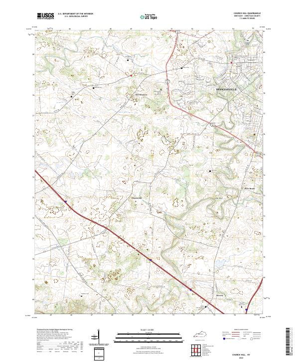
2022 Map of Church Hill
USGS Topo · Published 2022About this map
The Little River and its various tributaries, including the N Fork Little River and Sinking Fork, define the agrarian landscape of south-central Christian County. This survey captures the rural-suburban interface where the western edge of Hopkinsville meets smaller historically distinct communities such as Merrittstown, Church Hill, and Beverly. The network of country roads, from Cox Mill Rd to the more winding Striped Bridge Rd, connects numerous family and congregational burial grounds that offer significant value for genealogical research. Notable sites such as the Gordonsville Baptist Church Cem and the Dade Family Cem are documented alongside geographical markers like Cedar Bluff, providing a clear view of the area's settlement patterns and land use in the early twenty-first century.
Find a feature on this map
113 named features on this map. Tap any name to fly to it.
Don’t see what you’re looking for? This feature index may not catch every label — zoom into the map to look around manually.
Map Details
Editions of this 2022 Church Hill Map
This is the sole edition of this map. No revisions or reprints were ever made.
Other maps of this area

1944 · Clarksville
USGS Topo · 1:50,000

1950 · Caledonia
USGS Topo · 1:24,000

1951 · Church Hill
USGS Topo · 1:24,000

1951 · Caledonia
USGS Topo · 1:24,000

1951 · Hopkinsville
USGS Topo · 1:24,000

1951 · Roaring Spring
USGS Topo · 1:24,000

1951 · Herndon
USGS Topo · 1:24,000

1951 · Oak Grove
USGS Topo · 1:24,000

1952 · Pleasant Green Hill
USGS Topo · 1:24,000

1952 · Kelly
USGS Topo · 1:24,000