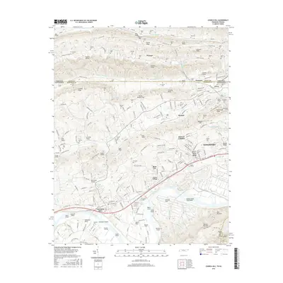
2016 Map of Church Hill
USGS Topo · Published 2016About this map
The Holston River carves a complex path through this landscape, creating a series of named hazards and landmarks including Alexanders Shoals, Kings Shoals, and Howards Shoals. Downstream from the bend at Solitude Bend, the river flows around Negro Island and Hord Island, reflecting the intricate river-based geography of the region. The map details the transition from the hills of Pine Ridge and Chestnut Ridge in the north toward the growing suburban and industrial footprints of Church Hill, Mount Carmel, and Kingsport in the south.
Find a feature on this map
256 named features on this map. Tap any name to fly to it.
Don’t see what you’re looking for? This feature index may not catch every label — zoom into the map to look around manually.
Map Details
Editions of this 2016 Church Hill Map
This is the sole edition of this map. No revisions or reprints were ever made.
Other maps of this area

1892 · Greeneville
USGS Topo · 1:125,000

1894 · Estillville
USGS Topo · 1:125,000

1896 · Greeneville
USGS Topo · 1:125,000

1904 · Greeneville
USGS Topo · 1:125,000

1935 · Surgoinsville
USGS Topo · 1:48,000

1935 · Lovelace
USGS Topo · 1:24,000

1935 · Sullivan Gardens
USGS Topo · 1:24,000

1935 · Moggasin
USGS Topo · 1:48,000

1935 · Kingsport
USGS Topo · 1:24,000

1935 · Clinchport
USGS Topo · 1:24,000