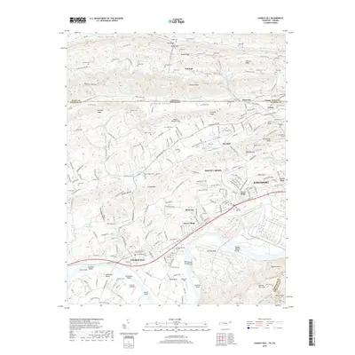
2019 Map of Church Hill
USGS Topo · Published 2019About this map
The Holston River winds through the southern reaches of this landscape, defining a series of prominent bends such as Solitude Bend and Smith Bend. The river's course is punctuated by Howards Shoals and Alexanders Shoals, alongside notable river features like Hawkins Island and Smith Island. This topography reflects the transitional geography where the ridge-and-valley province meets the expanding industrial and residential footprints of Kingsport and Church Hill. To the north, the terrain rises into the parallel ridges of Pine Ridge and Chestnut Ridge, separated by the long, cultivated expanse of Stanley Valley.
Find a feature on this map
161 named features on this map. Tap any name to fly to it.
Don’t see what you’re looking for? This feature index may not catch every label — zoom into the map to look around manually.
Map Details
Editions of this 2019 Church Hill Map
This is the sole edition of this map. No revisions or reprints were ever made.
Other maps of this area

1892 · Greeneville
USGS Topo · 1:125,000

1894 · Estillville
USGS Topo · 1:125,000

1896 · Greeneville
USGS Topo · 1:125,000

1904 · Greeneville
USGS Topo · 1:125,000

1935 · Surgoinsville
USGS Topo · 1:48,000

1935 · Lovelace
USGS Topo · 1:24,000

1935 · Sullivan Gardens
USGS Topo · 1:24,000

1935 · Moggasin
USGS Topo · 1:48,000

1935 · Kingsport
USGS Topo · 1:24,000

1935 · Clinchport
USGS Topo · 1:24,000