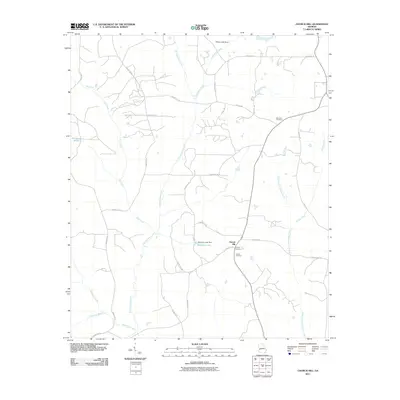
2011 Map of Church Hill
USGS Topo · Published 2011About this map
The settlement of Church Hill and its surrounding countryside define this landscape in western Georgia. This area is heavily defined by its drainage networks, where Kinchafoonee Creek and Lanahassee Creek carve pathways through the terrain alongside numerous tributaries like Dry Creek and Slaughter Creek. For those tracing local heritage, the map identifies several significant burial grounds, including Old Union Cemetery in the northeast and both Smyrna Cemetery and Shiloh Cemetery located near the primary settlement. The local economy and land use are further marked by man-made water features such as Simmons Lake and Flanigans Pond. A network of rural routes, including Churchill Rd and Mill Pond Rd, connects the scattered farmsteads and creek crossings that have long characterized this part of Marion County.
Find a feature on this map
35 named features on this map. Tap any name to fly to it.
Don’t see what you’re looking for? This feature index may not catch every label — zoom into the map to look around manually.
Map Details
Editions of this 2011 Church Hill Map
This is the sole edition of this map. No revisions or reprints were ever made.
Other maps of this area

1949 · Glen Alta
USGS Topo · 1:24,000

1950 · Buena Vista
USGS Topo · 1:24,000

1950 · Buena Vista
USGS Topo · 1:62,500

1955 · Buena Vista
USGS Topo · 1:24,000
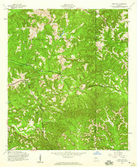
1955 · Glen Alta
USGS Topo · 1:24,000
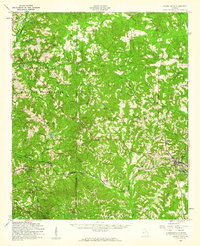
1955 · Buena Vista
USGS Topo · 1:62,500

1955 · Phenix City
USGS Topo · 1:250,000

1957 · Phenix City
USGS Topo · 1:250,000

1958 · Phenix City
USGS Topo · 1:250,000

1971 · Tazewell South
USGS Topo · 1:24,000